Land surveying
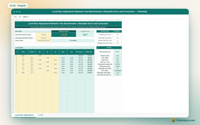
Level Run Adjustment in Excel: Misclosure, Allowable Error and Correction
An Excel sheet for a level book between two benchmarks of known level: it computes levels by the…
Coordinates, total station, levels, AutoCAD links and field earthworks.
Land surveying
An Excel sheet for a level book between two benchmarks of known level: it computes levels by the…
Land surveying
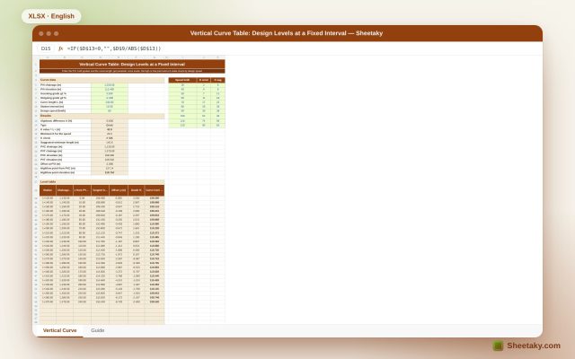
An Excel sheet for designing a parabolic vertical curve between two grades: it gives a level table at…
Land surveying
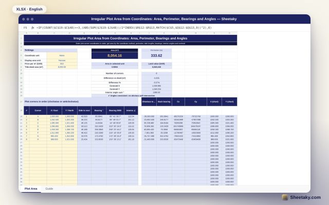
An Excel sheet that computes the area and perimeter of an irregular plot from its corner coordinates, with…
Land surveying
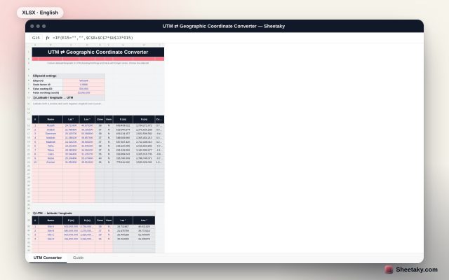
An Excel sheet that converts latitude and longitude to UTM (easting and northing) and back with Krüger series…
Land surveying
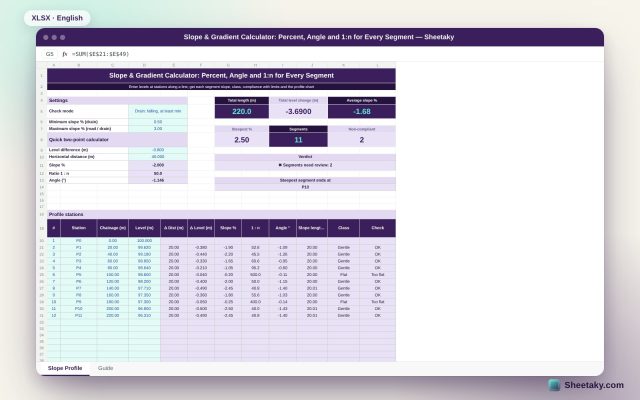
An Excel sheet that computes the slope of every profile segment as a percentage, as 1:n and in…
Land surveying
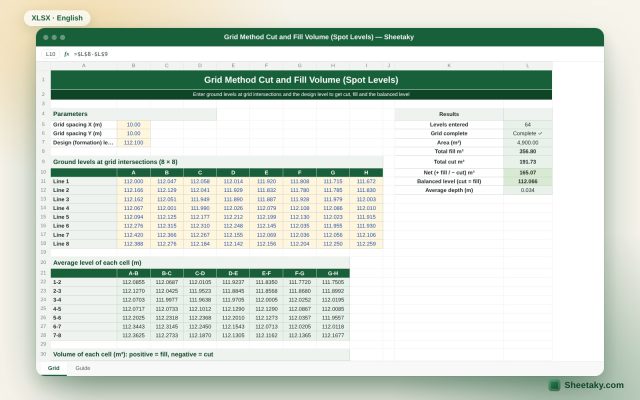
An Excel sheet for cut and fill volumes of a site by the square grid method: enter corner…
Land surveying
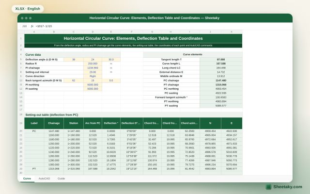
An Excel sheet for setting out a simple horizontal circular curve: it computes tangent, curve length, long chord…
Land surveying
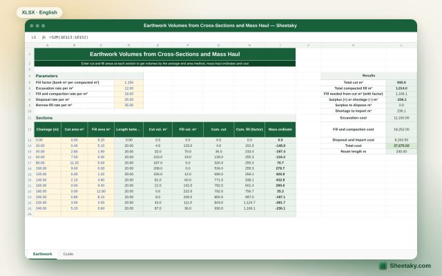
An Excel sheet that computes cut and fill volumes from cross-section areas by the average end area method,…
Land surveying
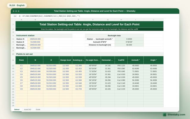
An Excel sheet for total station setting-out: it computes the horizontal angle from the backsight and the distance…
Land surveying
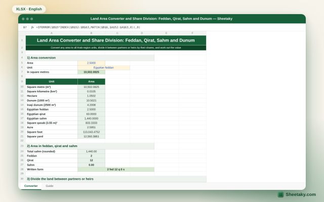
An Excel sheet that converts land area between square metres, feddan, qirat, sahm, dunum, hectare, qasaba and more,…
Land surveying
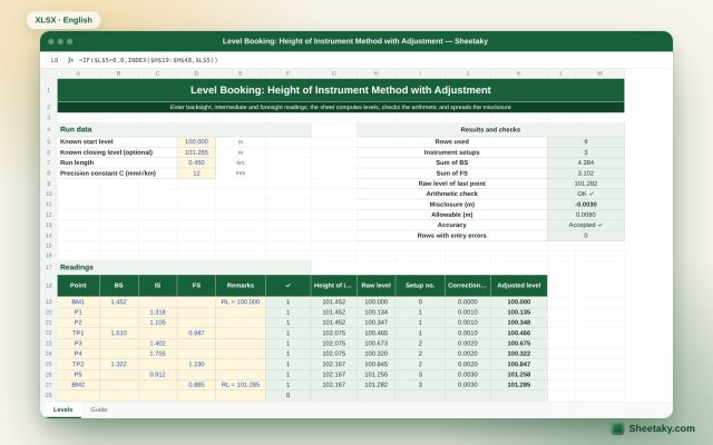
An Excel level book: enter backsight, intermediate and foresight readings and the sheet computes the height of instrument…
Land surveying
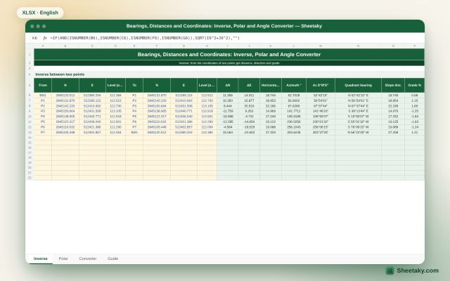
An Excel sheet with three surveying tools: inverse (distance, direction and grade between two points), polar (a new…